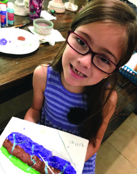
Hi My name is Harley, and today I will be talking about relief maps. Relief maps are basically maps of countries and continents that show the elevation. Elevation basically means how high or low something is. Prairies are our low elevation and mountains are high elevation.
If you were interested in making one, it’s a very easy. You just use salt, baking soda, cream of tartar, flour, and water. When you mix it up with your hands, this is a very fun experience! Then you spread it on a poster board or foam. Then you build the elevations and also you can do like not a lot of the clay mixture for prairies but build it really high in the mountainous areas.
In the end when it’s dry, you can paint it. You can do one color for the prairies then another color for the hilly areas and then another color for the mountainous areas. Also you can put little flags on your countries and things after you paint like for example Mount Everest or the South Pole. To make a flag, just use toothpicks and paper. You glue the paper onto the toothpicks and then you stick the flags in to the country or continent.
We did relief maps as a school project, and I did the country of Nepal because there’s a missionary there and he preaches to the people of Nepal. There are missionaries all around the world and the importance of being a missionary is that you can tell other people about Jesus and then they’ll go to heaven.
Harley Isabel Smith is a 1st grader who has been featured on TV as a philanthropist, has a heart for evangelism, and writes monthly for the Gazette’s Kid’s Corner.
For more information on this story or others, visit https://harleyisabelsmith.com.